Champlönch Children's Trail: along the old mule track (Swiss National Park)
Medium
5 km
1:45 h
189 mhd
234 mhd


Show all 4 images

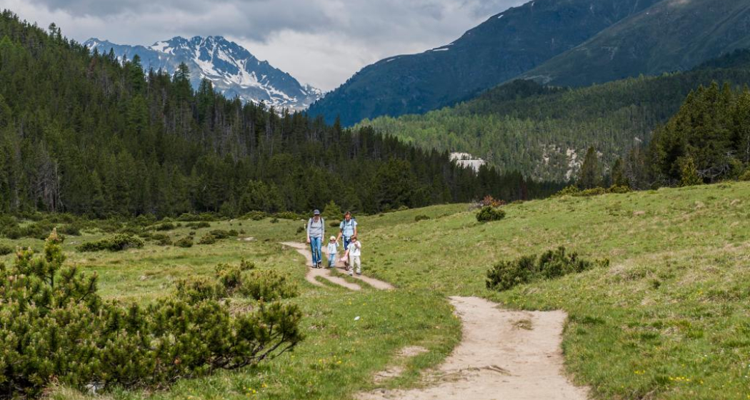
Easy hike along the Champlönch children's trail, one of the highlights for children in the Swiss National Park. Equipped with the Swiss National Park app, available free of charge for your iPhone or Android device, and the children's trail booklet with audio CD, you hike from parking lot 1 at Ova Spin (bus stop P1 Champlönch) in the direction of Il Fuorn (hiking routes 12/13, Postbus stop P6 Il Fuorn). On the way you will receive an acoustic signal at 10 different locations. A figure or an animal appears on the display and tells you an interesting story that is directly related to the surroundings.
Best Season
Jan
Feb
Mär
Apr
Mai
Jun
Jul
Aug
Sep
Okt
Nov
Dez
Start
PostBus stop Champlönch P1
Destination
PostBus stop Il Fuorn P6
Coordinates
46.679604, 10.166806
Details
Description
An ideal hike for families, even with small children. Following in the footsteps of the muleteers, the trail leaves the present-day Ofenpass road and follows the former connection from Zernez in the direction of the Ofenpass. The reward at the end is the sun terrace of the National Park Hotel Il Fuorn.
Note: Dogs are not allowed in the Swiss National Park, not even on a leash. Further information on this and all protection regulations can be found at nationalpark.ch/protect regulations.
Geheimtipp
The National Park Centre in Zernez offers a booklet incl. audio CD on the Champlönch Children's Trail.
Sicherheitshinweis
The tour was assessed in favourable weather conditions, it is imperative that the current weather conditions and weather forecasts are observed before starting the tour.
Emergency call:
144 Emergency call, first aid
1414 Mountain rescue REGA
112 International emergency call
Ausrüstung
Hiking shoes, warm clothing, sun and rain protection, booklet «Kinderpfad Champlönch» or App iWebPark
Directions
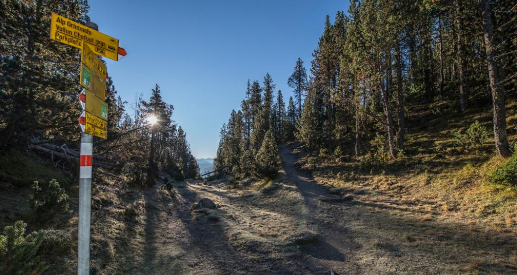
- The hiking trail begins at car park 1 on the Ofenpass road and the Champlönch post bus stop (P1)
- First the path climbs eastwards, then it follows a railing to the long Champlönch Alp (the former path over the Ofenpass ran here before the current road alignment was chosen in the 19th century)
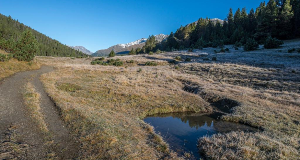
- The path leads past a small marshy watercourse into which springs flow
- In the southeast corner of the Champlönch meadow, the path turns left towards Il Fuorn
- The path leads through a small furrow between woods rising on both sides, which bears the local name Badachül
- The path then zigzags steadily downhill to the bridge over the Ova da Val Ftur
- Now follows a slight counter-ascension through the God sur il Fuorn to the meadow Plan Posa
- Through an impressive avalanche path and several mudflows, the trail finally reaches the meadows of the Ofenberg estate and, with the Hotel Parc Naziunal Il Fuorn and the Il Fuorn post bus stop (P6), also the destination of the hike
Directions
Public Transport
- With the Rhaetian Railway (from Chur, Landquart/Prättigau or from the Lower Engadine) hourly to
- Continue by PostBus every hour to the PostBus stop
Anreise Information
- From the north: via Landquart – Klosters by car transport through the Vereina Tunnel (Selfranga - Sagliains) or via the Flüela Pass into the Lower Engadine on H27 to Zernez
- From the east: via Landeck / Austria in the direction of St. Moritz on H27 to Zernez
- From the south: via Reschenpass (Nauders-Martina) or Ofenpass (Val Müstair-Zernez) on H27 to Zernez
Parken
- Free parking at the railway station, in the village and at the National Park Visitor Centre in Zernez
- Free parking in car park 1 on the Ofenpass road
Responsible for this content Tourism Engadin Scuol Samnaun Val Müstair AG.

This website uses technology and content from the Outdooractive platform.