Jakobsweg Graubünden: Stage 1

Medium
18 km
5:00 h
820 mhd
150 mhd


Show all 11 images

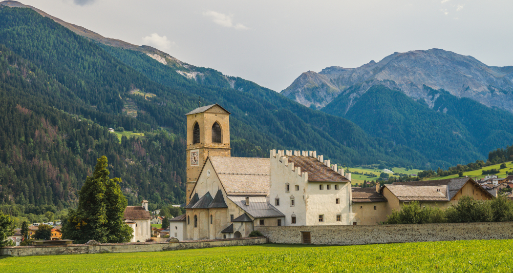
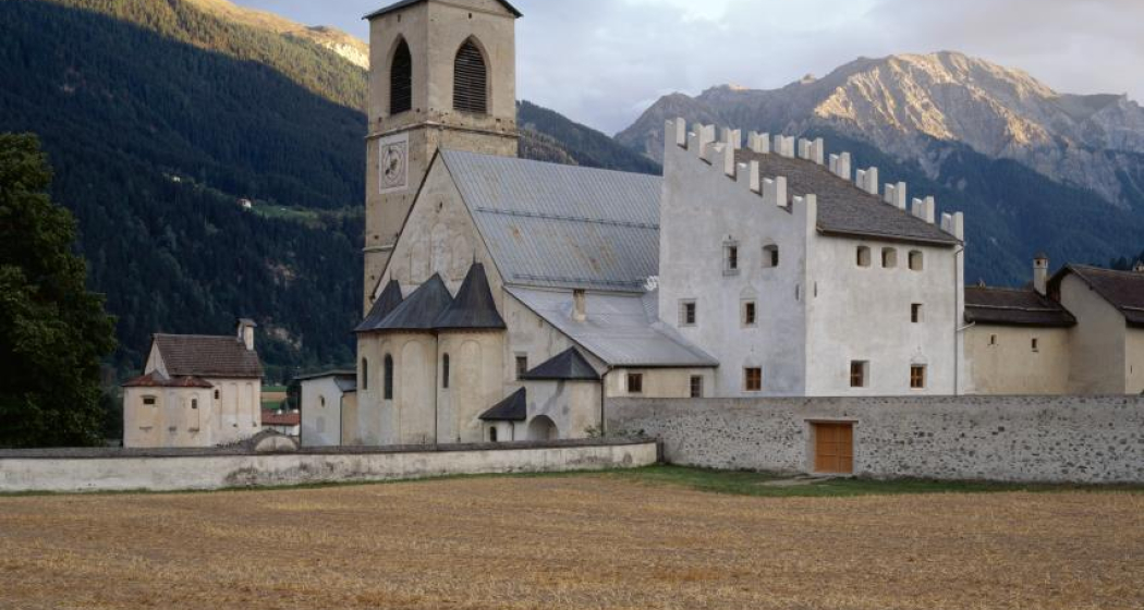
Müstair with St. Johann UNESCO World Heritage Site is your starting point for the leg over Sta. Maria, Valchava through the larch woods bordering the National Park, to Fuldera and Tschierv. And from the highest Ofenpass village over an upwards trail to Lü.
Best Season
Jan
Feb
Mär
Apr
Mai
Jun
Jul
Aug
Sep
Okt
Nov
Dez
Start
Müstair
Destination
Lü
Coordinates
46.629913962633, 10.450571784142
Details
Description
Sunny side through meadows and forest - starting point is the monastery of St. John, UNESCO World Heritage Site. First on the Via Imperiala to the junction of the Suravia. Short climb to the dirt road that leads to Sta. Maria. From the village center 15 minutes along the main road to Valchava. Continue through the larch forest to Fuldera and Tschierv. From Tschierv/Chasuras a road leads up to Lü.
Directions
From South Tyrol from Müstair border/Cunfin - Müstair monastery St. Johann - Suravia to Sta. Maria - Valchava - Fuldera - Tschierv / Chasuras - Lü
Directions
Public Transport
Hourly post bus connection from Zernez or Tschierv to Müstair, Clostra Son Jon or border/Cunfin
Anreise Information
- From Müstair border/Cunfin direction Müstair, Clostra Son Jon
- From Zernez or Tschierv to Müstair, Clostra Son Jon or border / Cunfin
Parken
Müstair, Parc Rom or monastery parking area
Responsible for this content SwitzerlandMobility.


